Roberts
Roberts Site
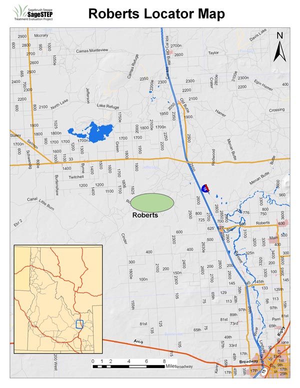
| Location: | Jefferson County, northwest of Rogers, ID |
| Land Management Agency: | Bureau of Land Management Upper Snake River Field Office |
| SageSTEP Site Manager: | Maggie Gray |
| Plots: | Four 200-acre core plots (Control, Burn, Mechanical, Herbicide) |
| Elevation: | 4800-4860 ft |
| Topography: | 0-10% slopes of all aspects |
| Common Vegetation: | Wyoming big sagebrush, Sandberg bluegrass, Indian ricegrass, bluebunch wheatgrass, and cheatgrass |
| Soils: | Fine- to coarse-loamy, mixed |
| Fire Regime: | Historically, several decades. Many of these communities experienced an increased fi re return interval with settlement and overgrazing. Cheatgrass invasion can cause larger fi res and reduce this interval to 10 years or less. |
| Representative Land Base: | Several million acres in western and central Utah, southern Idaho, northern Nevada, and eastern Oregon |
| Grazing: | Plots are located on an active grazing allotment, and will be fenced for the duration of the study to exclude livestock. |
| Treatments Implemented: | Fall 2007. For more information about treatments, click here. |
| Wildfire Activity: | Three of the four plots burned completely or partially in July 2010, but site will continue to be monitored for wildfire effects. |
Updated 2009
Contact
© Sagebrush Steppe Treatment Evaluation Project (SageSTEP)
Site Designed by Kite Media
Site Designed by Kite Media