Bridge Creek
Bridge Creek Site
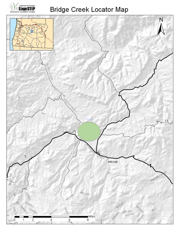
| Location: | Wheeler County, ~25 miles from Mitchell, OR |
| Land Management Agency: | Bureau of Land Management Prineville District Office |
| SageSTEP Site Manager: | Scott Shaff |
| Plots: | Three 35-acre core plots (Control, Burn, Mechanical) |
| Elevation: | 2600-2850 ft |
| Topography: | 25% slope and NW aspect |
| Common Vegetation: | Western Juniper, basin big sagebrush, bluebunch wheatgrass |
| Soils: | Sandy loam, Frigid Typic Haploxerolls to Frigid Torriorthents derived from basalt 30-90 cm deep |
| Fire Regime: | Historically frequent to moderately frequent (10-70 years), low intensity to mixed severity fires. Woodland invasion suggests that the majority of these communities have not burned since the late 1800’s. As woodlands gain dominance, the fire regime shifts to infrequent, high-intensity fires. |
| Representative Land Base: | Several million acres in eastern OR, northeastern CA, southwestern ID, and northwestern NV |
| Grazing: | No grazing anticipated and so this site remains unfenced. |
| Treatments Implemented: | Fall 2006. For more information about treatments, click here. |
Updated 2009
Contact
© Sagebrush Steppe Treatment Evaluation Project (SageSTEP)
Site Designed by Kite Media
Site Designed by Kite Media